MortaliTree app to map Bay Area Tree Mortality
To map current Bay Area Tree Mortality, Igor Lacan, University of California Cooperative Extension Urban Forestry Advisor for the San Francisco Bay Area developed “MortaliTree”, a smartphone-based mapping tool. Designed for land managers and field personnel, MortaliTree records and maps dead tree sightings.
A 15-minute video tutorial which takes you step-by-step through how to use MortaliTree is available HERE.
If you would like to report Bay Area tree mortality, first get Survey 123 – it’s free. First, go to Survey123. If you are using a PC, click on the “open in browser” option; if you are using a phone, then you can either run it in a browser or go ahead and download the app. The app is from ESRI, if you don’t have an account, just click on the “continue without signing in” on the app startup screen.
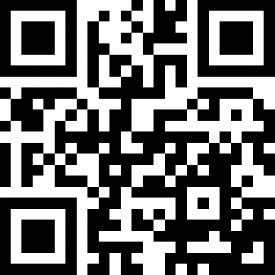
Once you have opened the app, click on the tiny QR code icon in the upper-right hand of the phone screen and then (when the app opens your camera), point the camera at the QR code below to download the MortaliTree data entry form.
(To be clear: if you are using the app, there are 2 steps: first, download the app, and then second, use the app to download the MortaliTree data entry form.)
More information is contained in the video, see link above.


